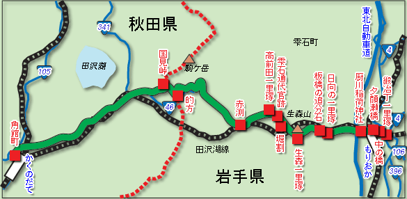
The Akita Highway is a highway that crosses the Owa Range from the lower part of Morioka Castle to Soseki, beyond the Kokumi Pass, to the area of Oboinai in the Akita region, and the Kakudate (now Senboku City). The name "Akita Kaido" took root in the Meiji period and after the Seniwa Pass was opened, and until that time at Morioka Pass it was called "Stone Road" and "Akita Orai", and others were "Seipo Uchi Kaido" "Kadodate Kaido" "Morioka Kaido" "Nanbu Kaido" etc., various names were used depending on the destination and purpose. The characteristic of this highway is that it is mainly cut as a strategic road since ancient times by crossing the difficult places in the Owa Mountains and Kunikami, and it is that the movement of military horses flourished throughout the Middle Ages. In recent times, with the development of Morioka as a castle town, trading with the coast of the Sea of Japan such as Akita has become active, and Bridgefield (Iwate Prefecture Shizukuishi-cho) and Ikuhouchi (Mizuoka) A goban is set up in Lake Tazawa, Senboku City, Akita Prefecture, and it has come to control goods and people.