place
Kamikawa, Iikawa-ku, Oshu-shi
Current name
Abe building trace
Terrain and remains
From the center of Igawa ward, cross the Sekifukubashi bridge, which is about 2 km southwest of Kitakitagawa on the prefectural road No. 37 Hanamaki Yodogawa Line, from the central part of Igawa ward. Also, it is located at the tip of the hill which is pinched by the river). It is about 100 meters above sea level, and the promenade and observatory are maintained in a crowded area. It consists of two buildings, north and south, with steep slopes on the west and north sides and empty moats on the south and north, but it is overgrown with trees and can not be identified. The north circle, which is the main circle, is 120 meters east to west, and 50 meters north to south, and the south circle which is the second circle is 40 meters east to west, 100 meters north to south.
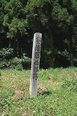
Nishikoku trace monument
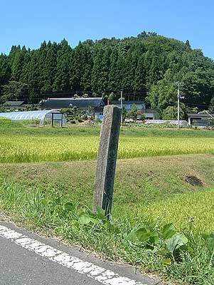
East Guo trace and the Abe building on the back
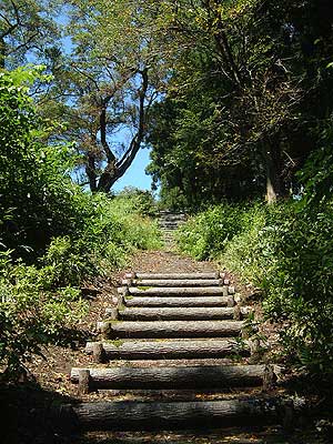
Boardwalk
history
It seems to be the central residence of Mr. Abe, but there is no such a name in "Roku Urushiki", and there is only "Igawan Seki". The hilly castle area alone is small in scale to accommodate Abe's large army, and it may have been called "Seki" including the surrounding flat areas. In the role of nine years ago , Abe lost his momentum at Kinugawa Oshiro in 5 years (1062), and a rout to the north began.
traffic
It is approximately ten minutes by car from Oshu-shi Igawa general branch office